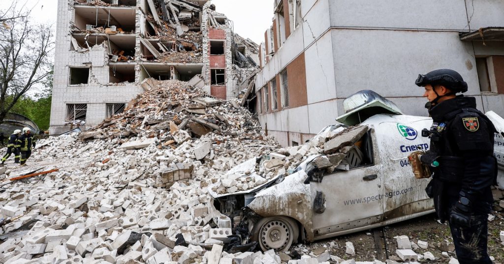
The double standard in military support for Ukraine compared to other countries is becoming more apparent and dangerous as Russian forces advance on the battlefield. Ukrainian officials have been urgently requesting new military support to defend against Russian attacks, but the U.S. and its Western partners have been hesitant to provide the same level of support as they did in the Middle East. Ukrainian President Volodymr Zelenskyy has emphasized the importance of unity and support from European allies to intercept drones and missiles, but Western countries have been reluctant to engage in any conflict with Russia to avoid a dangerous escalation.
Former British military intelligence officer Frank Ledwidge highlighted the U.S. and NATO’s adamant stance on avoiding conflict with Russia, as seen in British Foreign Secretary David Cameron’s statements on preventing a wider European war. The reluctance of Western countries to engage in conflict with Russia has left Ukraine vulnerable and in need of more effective air defense systems to defend against Russian drones. President Joe Biden has made it clear that the U.S. will not take on a combat role in Ukraine, citing differences in conflicts, airspace, and threat levels as reasons for limited involvement.
The focus on Kharkiv as a potential battleground underscores the urgent need for Western air defenses to prevent Russian advances in Ukraine. Ukrainian fears of facing defeat without sufficient military support are increasing, emphasizing the critical need for immediate assistance. The disparity in support for Ukraine compared to other conflict zones raises questions about the reliability of Western allies and the potential consequences of a lack of intervention in the face of Russian aggression. The ongoing conflict in Ukraine highlights the complexities and challenges of navigating international relations and military intervention in the face of rising tensions and threats to national security.


